Blow, wind, let my boat go,
Let it go Kurzeme.
A mistress in Kurzeme promised
Her daughter to be come my wife.

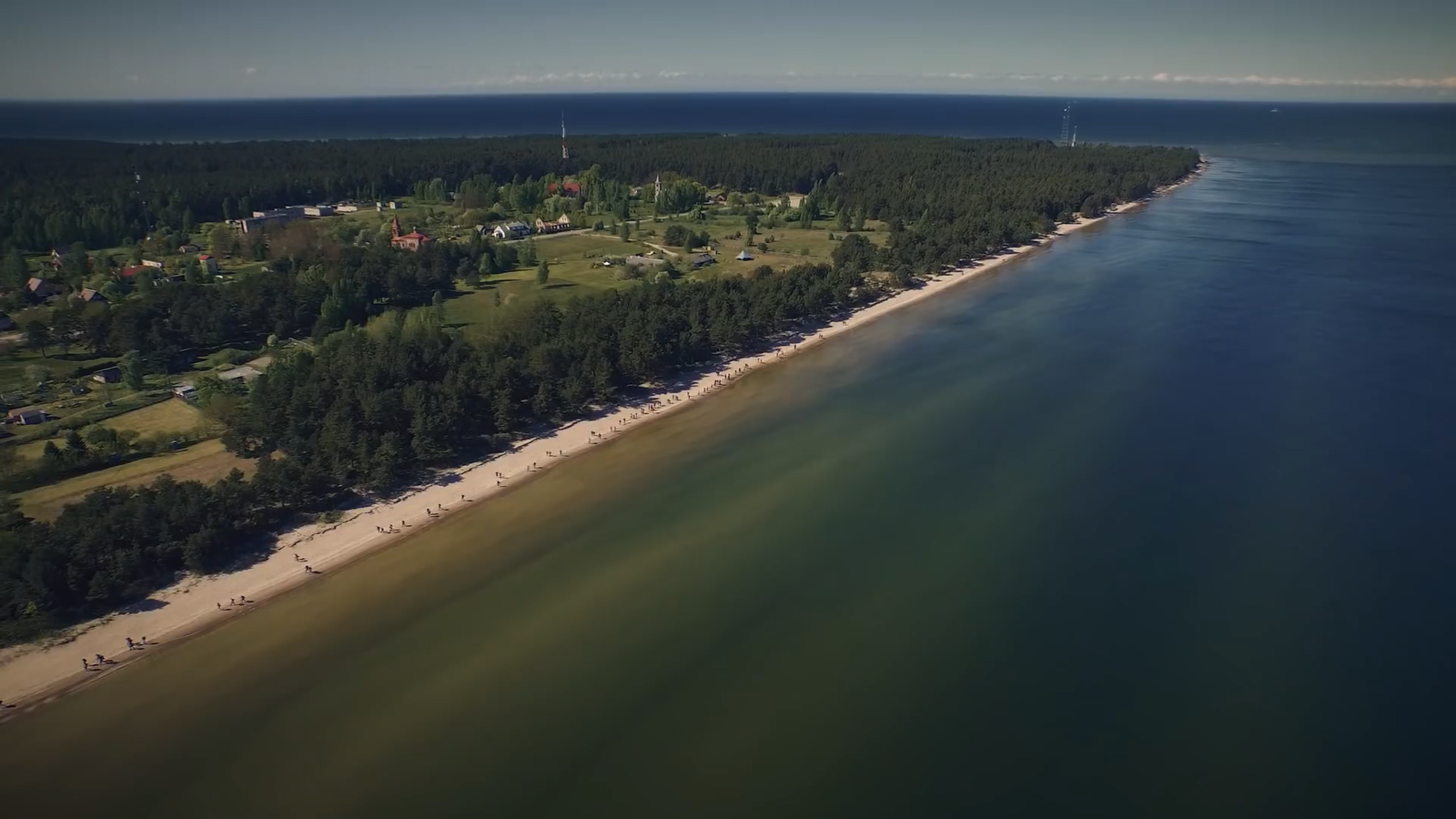
There is the only one unique
Cape Kolka with two seas and
the only one Livonian Coast.
The time passes just once and
you have a chance to do what you
consider to be important. To pass
and values that have lived before
you and will go on after you...

The Cape Kolka is a meating point
Hear come together the seas and
nations, the Human and the Nature,
a sunrise and a sunset. Here cross
the roads of birds and the roads
of the ships, the past, the present
and the future...